


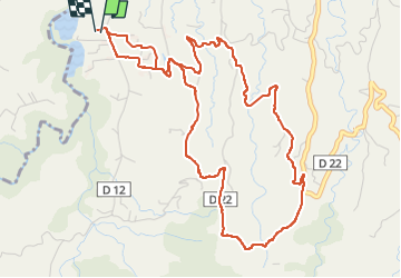


9,4 km | 14,9 km-effort

Gebruiker GUIDE


Gratisgps-wandelapplicatie
 SityTrail
IGN / Geografische instituten
SityTrail World
De wereld gaat voor u open
Tocht Stappen van 8,5 km beschikbaar op Martinique, Onbekend, Le Lorrain. Deze tocht wordt voorgesteld door GabyG.
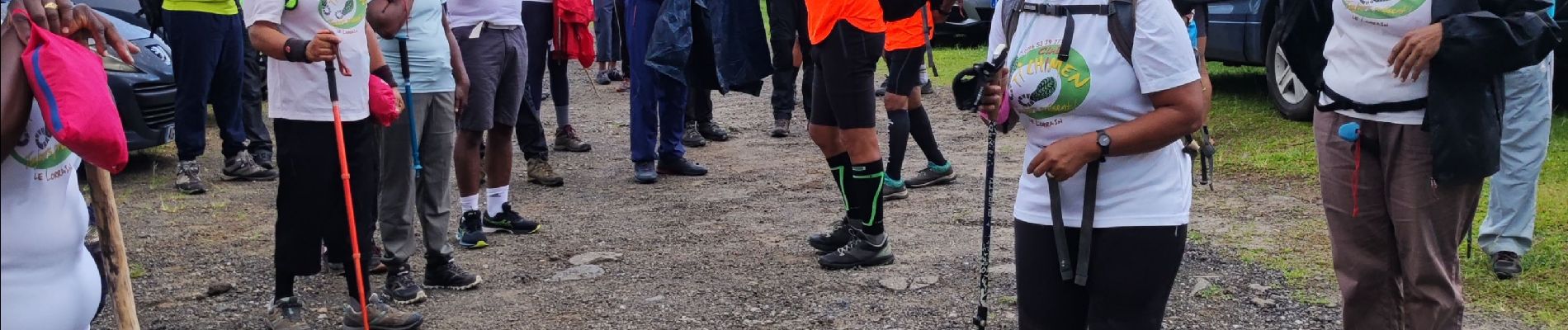
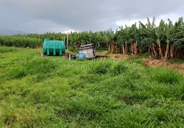
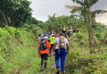
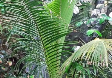
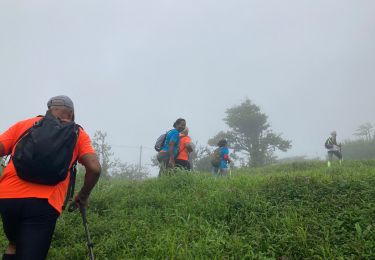
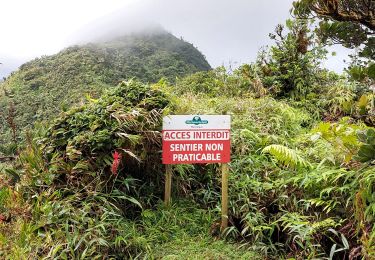
Tout d'abord, au noms de ceux qui étaient avec moi : Nous tenons à remercier l'Association "Club Ti Chimens" pour l'accueil qu'elle nous a faite, tant par ses adhérant que par les dirigeants pour cette randonnée sportive et de découvertes sur les Mornes Capot ! Bien que beaucoup de propriétés sont privées, mais les quartiers sont si beaux et les points de vue sur la Montagne Pelée sont formidables. Les plantations de bananes à perte de vue et les nombreux jardins de familles ne nous laissent pas indifférent. Il y a tant à dire sur cette randonnée qui fusionne efforts et satisfactions. Merci Ti Chimen, tout particulièrement 'Félix, Fernand et tous les autres. Pliss foss, Martinique cé pays nous.


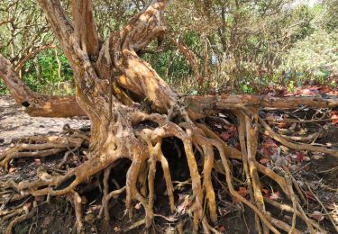
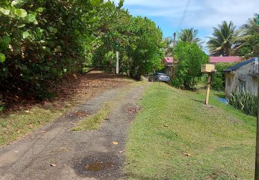
33 fotos in totaal. Klik op een foto om ze allemaal in de galerij weer te geven.

Stappen
Stappen
Stappen
Stappen
Stappen
Stappen
Stappen
Stappen
Stappen
Merci pour vos partages !